Map pinpoints the safe, the scary, the beautiful, and the ugly
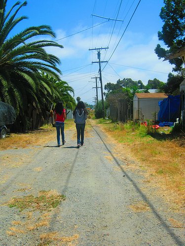
Students of the AjA PhotoCity Program in City Heights were asked to tell a story using photography and maps -- specifically, what the students find beautiful, safe, ugly, and scary in City Heights. Student photographers studied patterns and textures in the city scape, and discussed the feeling arising from those areas. They then took photos and affixed them to a digital map.[googlemaps https://maps.google.com/maps/ms?msid=200254589211496904720.0004c6c7a560b531bda01&msa=0&ie=UTF8&t=m&source=embed&ll=32.745594,-117.095675&spn=0.018048,0.038624&iwloc=0004c6d8e605dbbce7cd3&output=embed&w=425&h=350]AjA Project is a partner on Speak City Heights.